

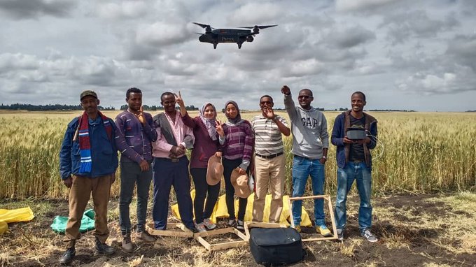
Ethiopia using Drones and AI for wheat yield estimation
The Ethiopian agricultural transformation agency “EATA”.has partnered with Sowit an agriculture Drone company to use it’s AI wheat yield estimation software. They are targeting wheat farmers from four regions namely Amhara, Tigray, SNNP and Oromia. By the way EATA was … Continue reading Ethiopia using Drones and AI for wheat yield estimation